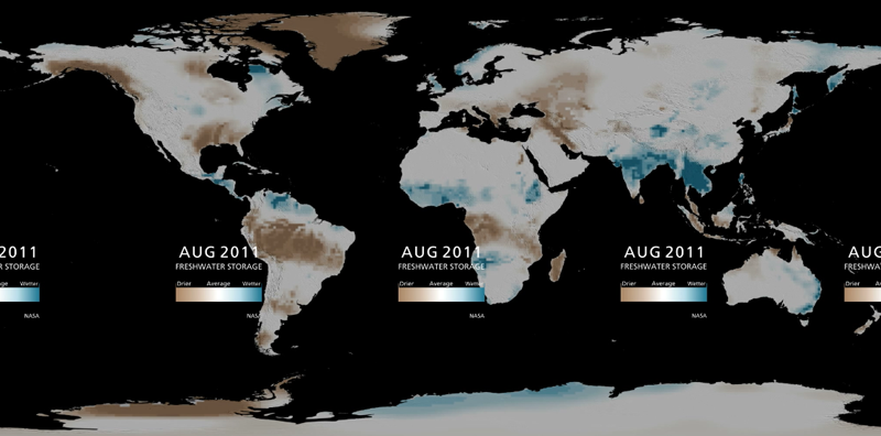
This visualization under development for the America Museum of Natural History presents data on groundwater observations acquired by NASA’s GRACE Satellite data.
http://sciencebulletins.amnh.org/?sid=e.v.water_underground.20120424&src=l
and
http://sos.noaa.gov/datasets/extras/groundwater_amnh.html
The rivers and lakes dataset used in this video is from BGR WHYMAP (World-wide Hydrogeological Mapping and Assessment Programme), as is the aquifer dataset. The global freshwater storage data come from NASA’s GRACE (Gravity Recovery and Climate Experiment). The detailed maps of the southern United States are the output of a computer model that diagnoses drought, developed by scientists at NASA Goddard Space Flight Center in collaboration with the National Drought Mitigation Center.

